|
Getting your Trinity Audio player ready...
|
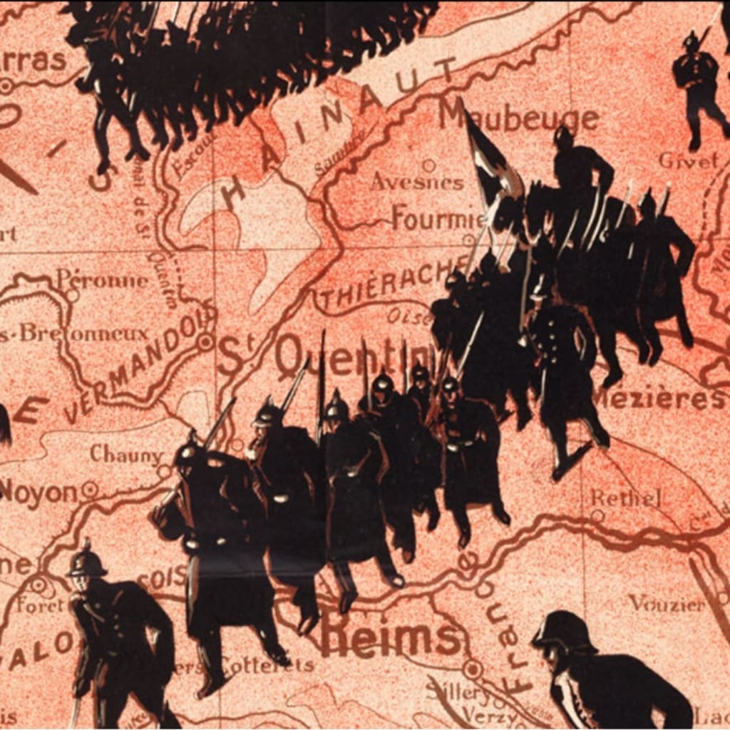
 The Wolfsonian–FIU charts global ambition in “Plotting Power: Maps and the Modern Age,” on view through April 16, 2023. Drawing from the Wolfsonian’s renowned collection of art and design, Plotting Power uses paintings, prints, posters, industrial design, and graphic materials to explore the “weaponization” of geography through the lens of maps, globes and political propaganda.
Shortly after entering World War II, President Franklin D. Roosevelt delivered a radio “fireside chat” imploring Americans to “spread before you a map of the whole earth.” Methods, weapons, and geography would differentiate this war, he said, underscoring the relationship between maps and power.
While speaking to the significance of maps in the first half of the 20th century, as ambitions, conflicts, and technologies exploded in scope and scale, Roosevelt’s words ring just as true today. “Plotting Power” explores how maps have informed, expanded and personified our world. Likewise, as agents of manipulation, maps are well-positioned to influence and shape global views when driven by economic, nationalistic, or political interests.
Geographic imagery has widely been used as a tool to gather, share and disseminate information about the world, a vehicle to explore and interpret dramatic changes impacting everyday life. Focusing on maps and globes provides a new lens to process the wide-ranging materials found in the Wolfsonian collection and a window to better understand the modern world.
Never timelier and more urgent, “Plotting Power” examines Ukraine, hatemongering, and the creation of political division through cartography.
“I was interested in exploring how maps, as uniquely trusted documents, are well-suited for nefarious purposes—for the transmission of ideas, whether truthful or not,” said curator Lea Nickless. “What struck me most as a storyteller is that this powerful narrative continues to be just as resonant today.”


